
NEW YORK - A new world map could help change how Africa is seen -- both geographically and symbolically.
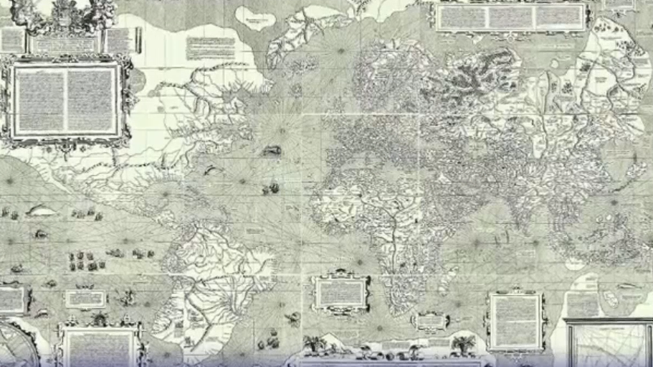
The United Nations General Assembly has voted to encourage countries to replace the centuries-old Mercator projection with the Equal Earth map, which more accurately reflects the relative size of the world’s continents.
The resolution was backed by 164 countries, while the United States voted against it and six countries abstained.
For Togo’s Foreign Affairs Minister Robert Dussey, who sponsored the resolution, the message is clear: Africa is a vast continent with a future that extends far beyond the way it has traditionally been portrayed on maps.
"Africa is a continent of the future. So the future in Africa is not only the slogan, the future also is in geography," Dussey said.
New York University academic Olajumoke Ayandele says the issue goes beyond geography.
"It’s about whose stories are told, whose perspectives are reflected, who gets to shape the global narrative," she said.
"And that’s what this campaign is ultimately about, ensuring that Africa is represented more accurately, not just geographically, but symbolically as well."
The Mercator projection was created by Flemish cartographer Gerardus Mercator in 1569 and was designed primarily for maritime navigation.
While it accurately represented the shapes and angles needed by sailors, it distorted the relative size of land masses, particularly closer to the poles.
As a result, Europe and North America appear much larger than they are relative to Africa and South America.
- Additional reporting AFP