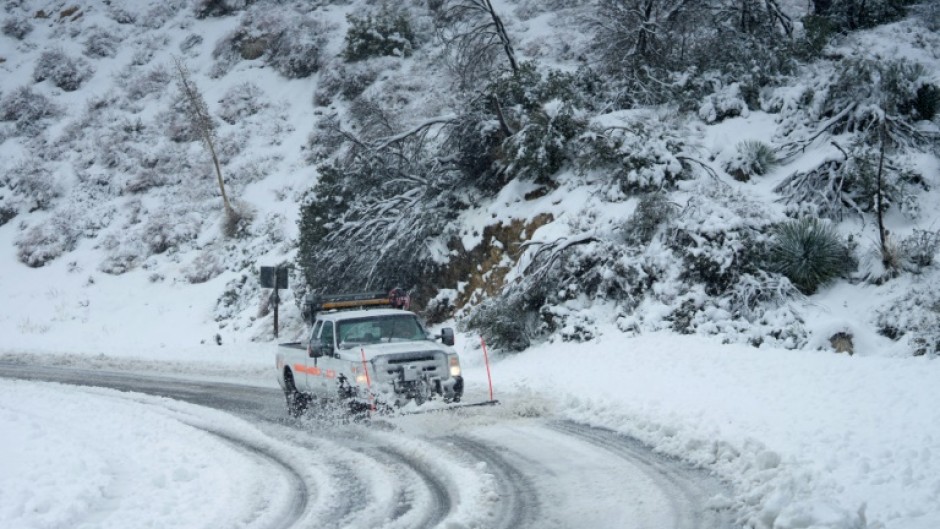
LOS ANGELES - Heavy snow fell in southern California on Friday as the first blizzard in a generation pounded the hills around Los Angeles, with heavy rains threatening flooding in other places.
Breathless television weather presenters more used to delivering a same-every-day forecast of warm sunshine found themselves knee-deep in the white stuff as the region grappled with its worst winter storm for decades.
Major roads were closed as ice and snow made them impassable, including sections of Interstate 5, the main north-south highway that connects Mexico, California, the Pacific Northwest and Canada.
Authorities said there was no estimate when it would be reopened.
"Dangerous and potentially life-threatening snow-related impacts are likely for mountain, desert, and foothill roadways in southern California," the National Weather Service (NWS) said.
"Multiple rounds of heavy snowfall coupled with strong winds will lead to blizzard conditions over some of the higher terrain and mountain passes.
"Areas very close to the Pacific Coast and also into the interior valleys that are not accustomed to seeing snow, may see some accumulating snowfall."
Snow and high winds brought down power lines, knocking out the lights for over 100,000 customers in California, according to poweroutage.us.
Television stations dispatched their presenters to mountain areas, where some reported on traffic misery and others chatted with gleeful children given the day off school.
Social media platforms were inundated with pictures of varying amounts of snow in gardens in higher elevation areas, as residents marvelled at the winter weather.
Even the Hollywood sign appeared to be trying to muscle in on the action, with Jeff Zarrinnam of the Hollywood Sign Trust snapping a picture of a snowball he made at his nearby house.
"I've seen everything," he told the Los Angeles Times, but "it was quite a surprise" to find snow this low.
Meteorologists were divided over whether it was technically "snow" and the NWS offered a Twitter tutorial for Californians struggling to put a name to the unusual white stuff spoiling the view of palm trees.
"Wondering what kind of frozen precipitation is falling from the sky in your area (assuming you are at a higher elevation)? Here is an informative graphic... that distinguishes between graupel and hail," NWS Los Angeles tweeted.
Hail ("hard & solid") is "frozen raindrops of ice from thunderstorms," while graupel ("soft & wet") is "snowflakes that collect supercooled water droplets on the outer surface," the agency informed readers.
Daniel Swain, a meteorologist at UCLA said a warming climate -- caused by humanity's unchecked burning of fossil fuels in the industrial age -- had changed the nature of winter precipitation in the area.
He said last century, many more places might have seen snow in a storm event like this.
"Back in the 1940s there's records of heavy snowfall in the city of LA and of course that seems almost unthinkable today," he said.
"The reality is that the fact that the climate is several degrees warmer in California than it used to be makes low (elevation) snow events less likely."

